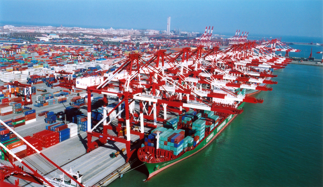
Port of Rotterdam
- Rotterdam`s photos


Full name: Port of Rotterdam
Coordinates: 51°55’26.71″ N, 4°28’52.93″ E
Rotterdam is one of the main ports of Europe and one of the most important junctions of commodity flows in the world.
The port has an excellent accessibility via the sea and hinterland connections that many companies and organizations share in the port and industrial complex. The port stretches out over 40 km.
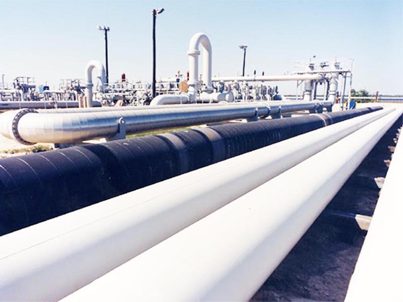
Rotterdam has a pipeline network of 1.500 km to transport liquid bulk quickly, safely and in an environmentally safe manner within the port.
Port of Novorossiysk (Russia)
- Novorossiysk`s photos


Novorossiysk – Russia’s largest port and ranked fifth among the largest ports in Europe.
Full name: Open Joint Stock Company “Novorossiysk sea trading port”.
Coordinates: -44° 39′N, 37° 52′ E.
Location – north-east of the Black Sea, Novorossiysk (Tsemes) bay.
Navigate – year-round.
Ice time – no.
The presence of oil terminals – there is.
Oil terminal “Sheskharis” is located a few miles from the dry cargo port.
It consists of two piers located in the eight cargo berths with total length of 2,9 km. Depths along them from 9,8 to 24 m.
The terminal is carried out transshipment of crude oil, light and dark oil products. Oil flows through the pipelines of “Transneft”. Owned JSC “Chernomortransneft ” tank farm can take 500 tons of crude oil.
Tonnage:
By processing can be taken tanker carrying up to 250 tons.
Port of Vladivostok (Russia)
- Vladivostok`s photos


Full name: Commercial Port of Vladivostok
Coordinates: 43°07’47.68″ N, 131°55’2655″ E
The port of Vladivostok is situated on the north – western coast of the ice free Golden Bay.
The oil terminal is located at berth 11 and provides enough storage capacity of 23.000 m³ of products.
The port has a total quay length of 4.200 m with up to 15 m width alongside, while it covers 552.444 m ². Harbor’s depth approaches 20 – 20 m.
Port of Primorsk (Russia)
- Primorsk`s photos


Full name: Sea port of Primorsk (Merchant Marine Port of Primorsk).
Coordinates: 60° 20.6′N , 28° 43.0′E.
Location: north-eastern shore of the strait Berkezund.
Navigation: year-round.
Ice time – is in November (December) and March (April).
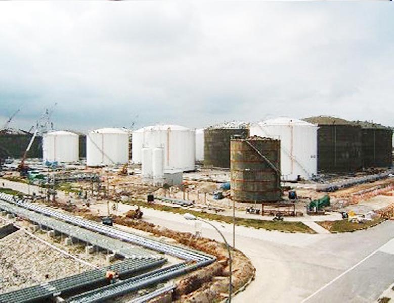
Oil loading terminal for export of crude oil is equipped with modern facilities and consists of storage tanks, which consists of 18 vessels of 50 tons each and berths number 1 and 2, connected to the shore of the T-shaped rack.
The port of Primorsk is available for boats up to 307 meters wide and 55 meters and a maximum draft of up to 15.5 meters, the port may be loaded tankers to 150,000 tons.
The port has a quay length of three to 367.6 m and a quay length of 385 m.
The first two berths available for 5 ships , productivity from 8000 to 12000 tons of crude oil per hour, depending on the tonnage tankers. In the last two berths available for 3 ships (4 seats under ships reserved for oil).
Primorsk is the final link in the Baltic Pipeline System (BPS). This project focuses on transportation of oil from the Timan-Pechora fields of Western Siberia and the Ural-Volga
Sea port of Primorsk is the largest port for export of oil and petroleum products in the North – West region of Russia.
In 2006, the Baltic Pipeline System (BPS) company JSC “Transneft” has entered the design capacity of 65 million tons.
Port of Tuapse (Russian Federation)
- Tuapse`s photos

Full name: Open Joint Stock Company “Tuapse Sea Trade Port” (OJSC “TMTP).
Coordinates: 44 ° 05 ‘ N, 39 ° 04′ E.
Location: the eastern shore of the Black Sea in the foothills of the Main Caucasian ridge.
Navigation: year- round.
Ice time – no.
In the oil terminals includes:Oil port terminal “Tuapsenefteprodukt”, “Tuapse refinery and tank farm” Zarechye ” belonging “Chernomortransneft “(included in the system of «Transneft»).
Tuapse oil flows through a separate pipeline that passes only through the territory of Russia (Western Siberia – Samara – Tikhoretsk – tank farm «Zarechye» – Tuapse).
About 10, 2% of total exports accounted for independent companies and joint ventures.
Turnover of petroleum products – more than 17 million tons.
Tonnage to 100 tons.
Open Joint Stock Company “Tuapse Sea Trade Port” (OJSC “TMTP”) is the operator of the seaport of Tuapse, included in the five largest ports in Russia.
Port of Nakhodka (Russia)
- Nakhodka`s photos


Full name: Nakhodka commercial sea port.
Coordinates: 42° 47′ N , 132° 52′ E.
Location: northern part of the Nakhodka Bay on both sides (Nakhodka Bay, Sea of Japan) and the east coast of the peninsula.
Navigation – The whole year.
Ice time – there is.
Berthing front oil port includes oil tank total length of 520 m and a depth of 5,7 m to 13,4 m, which are cargo berths N 1,2,3,4 and bunkering jetty N 5.
In the oil port of port fleet includes a self-propelled pontoon raid, 2 self-propelled barges, one tanker, 3 towing and others.
Transshipment of oil port performs JSC “Nakhodka sea oil port”.
For mechanized hose operations and loading of petroleum products to vessels at the berths installed 12 ships for different grades of fuel and oil, and 2 – for the reception of ballast water. For chores in the port there is a gantry crane 5 / 6 m and 5 road forklifts.
Petroleum products until shipment is stored in tanks Nakhodkinskoye company for petroleum products (about 250 cubic meters).